ANIN Begins LiDAR Flights over the Piura River Basin for Pre-Investment Studies
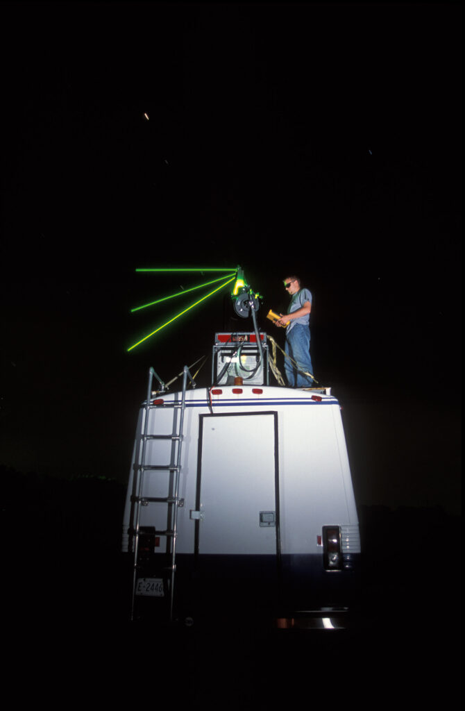
ANIN has launched one of Peru’s largest airborne LiDAR surveys — about 397,155 hectares and 480 km of the Piura River — to design flood-protection and erosion-control works.
ANIN Begins LiDAR Flights over the Piura River Basin for Pre-Investment Studies Read article »